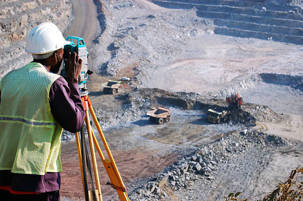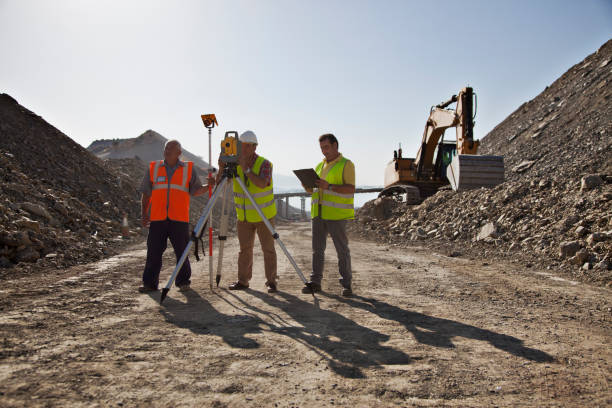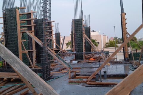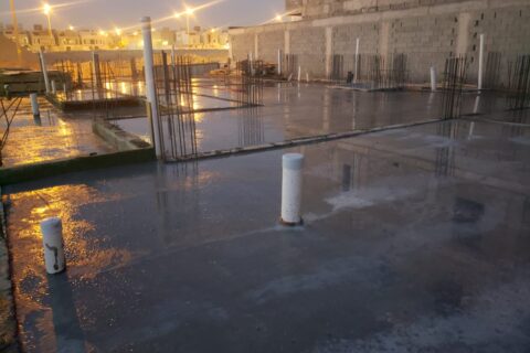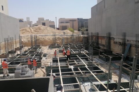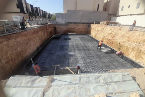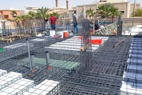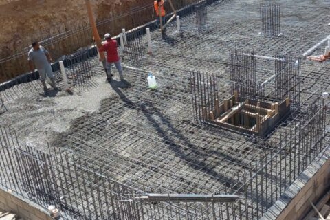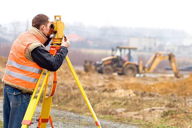
Creating triangle networks of different degrees with monitoring and correction work using surveying devices and computer surveying programs.
Establishing the traverse (closed - open) with monitoring and correction work using cadastral devices and also using cadastral software
Calculating surfaces and quantities of excavation and backfilling using computer surveying programs
Signing the general location coordinates of various projects
.

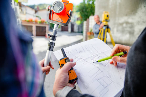
To increase the accuracy of the work (G.P.S) • Sign the points of the triangles using a satellite monitoring device
Preparing budgets of various types (grid - longitudinal - precise) using integrated cadastral stations and printing them using an automated color plotter (Color Plotter).
Lifting and signing works for the infrastructure (water, sewage, electricity, telephones, gas, etc.)
Determine the extent of conformity of the engineering works to the cadastral assets


