GIS services
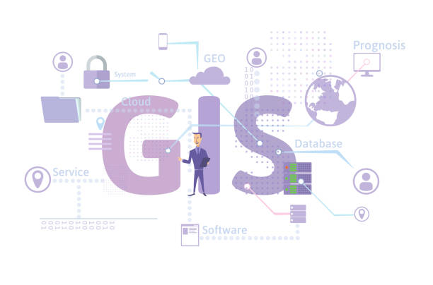
Geographic Information Systems (GIS) is a technology that allows the collection, storage, analysis, and display of spatial data on geographic maps. GIS services offer a variety of benefits and uses in various fields.
Natural Resources Management:
GIS is used to monitor and manage natural resources such as water, forests and agriculture, contributing to maintaining ecological balance and resource sustainability.


Geographic data analysis
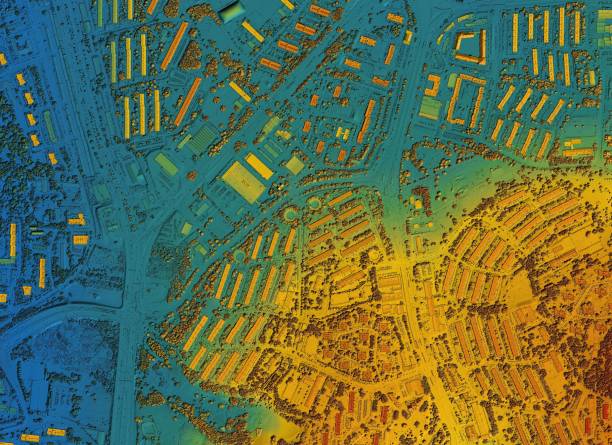
GIS allows spatial data to be analyzed to understand geographic relationships and trends, and this can be useful in guiding policy and decision-making.
Crime and safety analytics:
Crime and safety analytics:
These are just a few of the services that can be provided using GIS.


