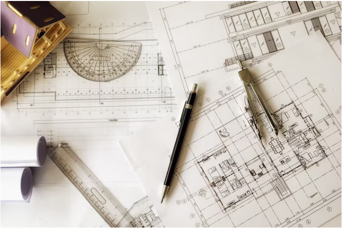
Planning buildings according to the design units
Creating triangle networks of different degrees with monitoring and correction work using surveying devices and computer surveying programs.
Establishing the traverse (closed - open) with monitoring and correction work using cadastral devices and also using cadastral software
عمل الروبيرات باستخدام الأجهزة المساحية
Calculating surfaces and quantities of excavation and backfilling using computer surveying programs
Signing the general location coordinates of various projects
To increase the accuracy of the work (G.P.S) • Sign the points of the triangles using a satellite monitoring device
Preparing budgets of various types (grid - longitudinal - precise) using integrated cadastral stations and printing them using an automated color plotter (Color Plotter).
تصميم وتوقيع جميع أنواع الطرق والسكك الحديدية ومسارات الأوناش الجانترى
عمل القطاعات المختلفة (طولية – عرضية – مائلة(
تحديد أركان المباني والإنشاءات
ربط وتحديد أماكن الأجزاء الظاهرة والمدفونة لقطاعات المباني المختلفة (خرسانية – معدنية(
Adjust column verticality
Lifting and signing works for the infrastructure (water, sewage, electricity, telephones, gas, etc.)
Determine the extent of conformity of the engineering works to the cadastral assets
تحديد أماكن الماكينات بالمصانع وضبط وصلاتها الأفقية والرأسية
تحديد أماكن أعمدة الإنارة على الطرق المختلفة
الأعمال المساحية لمنشآت الكباري بجميع أنواعها وكذا الأنفاق تحت الأرض
Planning cities and tourist villages
